 BUSINESSTECHNOLOGYMicrosoft Ignite 2026: Satya Nadella Puts AI Agents, Copilot and Enterprise Cloud at the Centre of Microsoft's Next Technology RevolutionFlipFileZone · Read Fullopen_in_new
Revolutionary Geolocation Tool: Pinpointing Exact Coordinates in Minutes
A groundbreaking geolocation tool has been developed, capable of returning the exact coordinates of any street photo within an unprecedented 3 minutes, changing the landscape of location-based technologies
FlipFileZone · TECHNOLOGY
shareShare this post






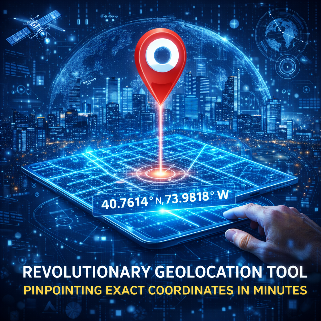
Revolutionary Geolocation Tool: Pinpointing Exact Coordinates in Minutes
The advent of advanced geolocation technologies has transformed the way we navigate and understand our surroundings. A recent breakthrough in this field has led to the development of a cutting-edge tool that can pinpoint the exact coordinates of any street photo with remarkable speed and accuracy.
This innovative tool leverages sophisticated algorithms and machine learning models to analyze visual data from street photos, cross-referencing it with extensive geospatial databases to determine the precise location. The process, which takes a mere 3 minutes, opens up a plethora of applications across various industries, from urban planning and emergency services to tourism and real estate.
How it Works
The geolocation tool operates by first enhancing and clarifying the input street photo to improve its resolution and remove any distortions. It then extracts distinctive features such as street signs, building facades, and other unique landmarks, comparing them against a vast repository of geotagged images and maps.
- Enhancement of Street Photos: Advanced image processing techniques are applied to refine the quality of the input photo, ensuring that all details are crisp and discernible.
- Feature Extraction: Sophisticated software identifies and isolates specific features within the enhanced photo that can be matched against known locations.
- Geospatial Matching: The extracted features are then compared against a comprehensive database of geotagged images and maps to find a match, thereby determining the location of the photo.
Applications and Implications
The potential applications of this geolocation tool are vast and diverse. For instance, it could significantly enhance the efficiency of emergency response systems by quickly identifying the location of distress calls. In the realm of urban planning, it could assist in the identification of areas needing infrastructure development or renovation. Moreover, it could revolutionize the real estate sector by providing precise location details of properties, aiding in more informed decision-making for both buyers and sellers.
- Emergency Services: Rapid location identification can save critical minutes in emergency response situations.
- Urban Planning: The tool can help in identifying areas of cities that require development or maintenance.
- Real Estate and Tourism: It can provide potential buyers or tourists with accurate and detailed location information, enhancing their experience and decision-making process.
shareShare this post
recommendYou may also like
BUSINESSTECHNOLOGYMicrosoft Ignite 2026: Satya Nadella Puts AI Agents, Copilot and Enterprise Cloud at the Centre of Microsoft's Next Technology RevolutionFlipFileZone · Read Fullopen_in_new BUSINESSTECHNOLOGYChina Uses American AI Models to Train Domestic Rivals as US Chip Restrictions Intensify the Global Artificial Intelligence RaceFlipFileZone · Read Fullopen_in_new
 BUSINESSTECHNOLOGYNvidia Leadership Turmoil Raises Concerns Over AI Industry Financing as Investors Rethink the Future of the AI BoomFlipFileZone · Read Fullopen_in_new
 TECHNOLOGYGovernor Gulab Chand Kataria launches Shaheed Bhagat Singh Youth Facilitation Centre in LudhianaFlipFileZone · Read Fullopen_in_new
 TECHNOLOGYInstinct AI Assistant Secures $350M Funding, Hits $2.5B Valuation in Record TimeFlipFileZone · Read Fullopen_in_new
 TECHNOLOGYXiaomi Unveils Xring Chip with TSMC Partnership, Redefining Its Global Hardware StrategyFlipFileZone · Read Fullopen_in_new
 TECHNOLOGYApple’s AI‑Powered Camera AirPods Could Launch in 2026, Not 2027FlipFileZone · Read Fullopen_in_new
chatPost a comment
Comments
0